

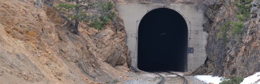
Go to: Tunnel Photos
| Name/Number | Milepost | 1989 Length (ft) | 1992 Length |
| 1 | 23.43 | 356* | 365 |
| 2 | 25.44 | 516 | |
| 3 | 25.79 | 396 | 369† |
| 4 | 26.00 | 174 | |
| 5 | 26.11 | 631 | 636 |
| 6 | 26.35 | 536 | |
| 7 | 26.63 | 208 | |
| 8 | 26.91 | 753 | |
| 10 | 27.42 | 1,572 | |
| 11 | 27.81 | 238 | |
| 12 | 27.93 | 429 | |
| 13 | 28.14 | 312 | |
| 14 | 28.28 | 434 | |
| 15 | 28.46 | 427 | |
| 16 | 28.72 | 698 | |
| 17 | 29.50 | 1,730 | |
| 18 | 29.97 | 272 | |
| 19 | 32.11 | 1055 | |
| 20 | 32.45 | 460 | |
| 21 | 32.71 | 659 | |
| 22 | 32.98 | 180 | |
| 23 | 33.20 | 1,622 | |
| 24 | 34.10 | 812 | |
| 25 | 34.61 | 639 | |
| 26 | 35.22 | 322 | |
| 27 | 35.72 | 643 | 634 |
| 29 | 36.38 | 78 | |
| 30 | 40.47 | 257 | |
| Moffat | 50.20 | 32,798 | |
| 34 | 69.09 | 372 | |
| 35 | 108.64 | 157 | |
| 36 | 108.8 | 229 | |
| 37 | 108.98 | 134 | |
| 38 | 110.00 | 100 | |
| 39 | 113.49 | 294 | |
| 40 | 113.80 | 63 | |
| 42 | 115.78 | 463 | |
| Yarmony | 131.28 | 647 | |
| Sweetwater | 159.17 | 1,215 | |
| Total, not including Moffat Tunnel: | 20,083 | ||
* From the 1964 D&RGWRR Condensed Profile.
† The 1964 Condensed Profile also shows 369′, unlike the 1988 D&RGW chart. This tunnel is bare rock throughout, so somebody wrote it down wrong, transposed digits, or mis-measured it. Google Earth agrees with the 369′ measurement.
The 1964 Profile does not seem to show all the revised tunnel lengths after portal revisions.
This information derived from D&RGW and SP Grade and Alignment Charts, viewable online at DRGW.net .

